Before starting a construction project, it's crucial to know what's below the ground. This is where borehole data comes in handy. By drilling into the earth, we gather information about the soil and rock layers. This helps you understand the ground's stability and strength.
Understanding borehole data is like solving a puzzle about the hidden layers beneath us. It guides decisions on every building project, ensuring that each structure is safe and sound.
Understanding Borehole Data
Borehole data is crucial for any construction or geotechnical project. It consists of detailed information collected from drilled holes in the ground and helps you understand the different layers of soil and rock beneath the surface. This data includes things like soil type, rock formations, moisture levels, and the presence of water tables. Each component plays a role in assessing the land's potential for supporting a structure.
In geotechnical projects, the role of borehole data cannot be underestimated. It acts as a guide, offering insights into how the ground will behave during and after construction. By analysing this information, engineers can predict possible issues that might arise, such as soil shifting or water damage. These insights are essential for designing stable foundations and ensuring that buildings remain safe over time.
Borehole data is like a map, revealing the hidden characteristics of the ground. It helps builders make informed decisions, preventing unexpected setbacks. By having a clear understanding of the ground conditions, construction teams can choose the right materials and methods.
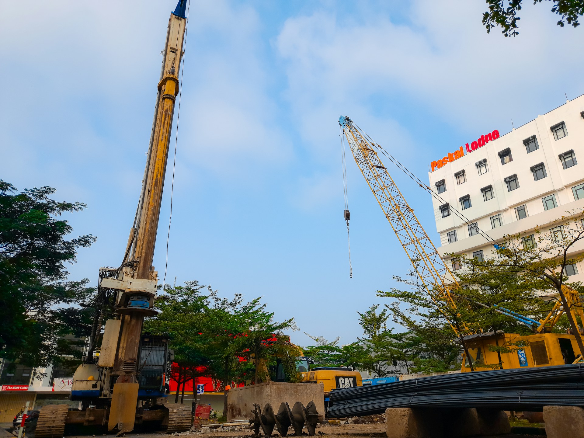
Collection Methods for Borehole Data
Collecting borehole data involves several methods, each designed to provide specific information about the ground. Understanding these techniques helps in selecting the right approach for each project. Here are some common methods used:
1. Core Drilling: This involves extracting cylindrical samples from the ground. These samples give a clear view of the soil and rock layers, helping to identify different formations and compositions.
2. Percussion Drilling: Using a heavy hammer to break through the ground, this method is useful for penetrating hard layers and obtaining samples from deeper depths.
3. Rotary Drilling: This uses a rotating drill bit to bore into the ground. It's efficient for collecting continuous samples over extended depths, making it ideal for detailed analysis.
4. Sonic Drilling: Employing high-frequency vibrations, this method reduces disturbance to the surrounding soil, preserving the integrity of samples for more accurate results.
By carefully selecting the right collection method, geotechnical teams can gather reliable data that leads to better project outcomes. Each method offers unique advantages, providing comprehensive insights into the layers beneath your feet and ensuring a strong and stable foundation for every construction effort.
Interpreting Borehole Data for Construction
Analysing borehole data provides essential insights that guide construction decisions. By examining the soil's composition, engineers can assess its bearing capacity, which tells them how much weight the ground can support.
This is crucial for determining the type and size of foundations needed for a given structure. Additionally, knowing the moisture content helps predict how the ground will behave in wet and dry conditions, informing drainage solutions and waterproofing measures.
The data also highlights any problematic soil conditions, such as loose sand or expansive clay, that could affect stability. Identifying these issues early allows for proactive solutions, like soil stabilisation or choosing alternative building techniques.
This data-driven approach ensures that each decision is backed by solid evidence. From selecting materials to designing the foundation, every step is informed by insights gained from borehole analysis. In this way, borehole data is the backbone of safe and efficient construction, providing a clear understanding of the earth we're building on.
Technological Advances in Borehole Data Collection
Recent technological advances have greatly enhanced the accuracy and efficiency of borehole data collection. One of the most significant developments is the use of automated data loggers. These devices can continuously monitor and record various soil parameters, such as temperature and pressure, providing real-time information that's essential for quick decision-making.
3D imaging and modelling technologies have also transformed how borehole data is visualised. These tools create detailed subsurface maps, allowing engineers to see a precise representation of the soil layers. This visual insight aids in identifying potential geological hazards and informing more tailored construction plans.
Moreover, the integration of drone technology enables quicker surveying and data collection over large areas. Drones provide an aerial perspective, capturing data that complements traditional borehole methods.
Conclusion
Borehole data is a cornerstone of geotechnical planning and construction, shedding light on the unseen details of the earth beneath us. It informs every aspect of building projects, from initial surveys to foundation design, ensuring safety and stability. As technology advances, the methods of collecting and interpreting borehole data continue to improve, making construction more reliable and efficient.
To make the most of your construction projects, team up with the experts at Topdrill. We offer cutting-edge borehole drilling in Auckland, data collection, and interpretation services tailored to your needs. With our help, you can build on the strongest foundation possible, equipped with the critical insights necessary for a successful project. Contact us today to ensure your next build is safe and sound.